
Tosontsengel topographic map
Interactive map
Click on the map to display elevation.
About this map
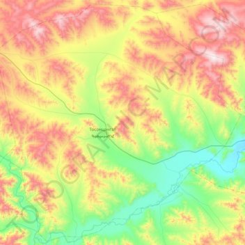
Name: Tosontsengel topographic map, elevation, terrain.
Location: Tosontsengel, Chöwsgöl, Mongolei (49.25470 100.55899 49.73737 101.32494)
Average elevation: 1,515 m
Minimum elevation: 1,069 m
Maximum elevation: 2,262 m
Other topographic maps
Click on a map to view its topography, its elevation and its terrain.