
Khankh topographic map
Interactive map
Click on the map to display elevation.
About this map
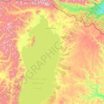
Name: Khankh topographic map, elevation, terrain.
Location: Khankh, Chöwsgöl, Mongolei (50.84204 100.05461 51.75006 101.22836)
Average elevation: 1,937 m
Minimum elevation: 995 m
Maximum elevation: 3,397 m
Other topographic maps
Click on a map to view its topography, its elevation and its terrain.