
Nordfjord topographic map
Interactive map
Click on the map to display elevation.
About this map
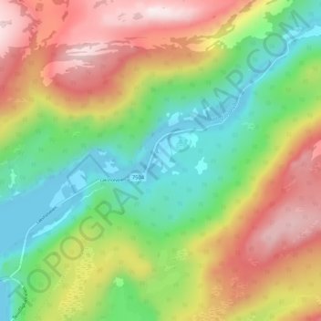
Name: Nordfjord topographic map, elevation, terrain.
Location: Nordfjord, Sørfold, Nordland, Noorwegen (67.41648 15.70178 67.45648 15.74178)
Average elevation: 247 m
Minimum elevation: -2 m
Maximum elevation: 584 m
Other topographic maps
Click on a map to view its topography, its elevation and its terrain.
Langvatnet - Guddumjávvre
Langvatnet - Guddumjávvre, Gildeskål, Nordland, Noorwegen
Average elevation: 394 m