
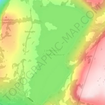
Langvatnet - Guddumjávvre topographic map
Interactive map
Click on the map to display elevation.
About this map
Name: Langvatnet - Guddumjávvre topographic map, elevation, terrain.
Location: Langvatnet - Guddumjávvre, Gildeskål, Nordland, Noorwegen (66.88843 14.13986 66.91949 14.18665)
Average elevation: 394 m
Minimum elevation: 187 m
Maximum elevation: 613 m
Other topographic maps
Click on a map to view its topography, its elevation and its terrain.