
Røst topographic map
Interactive map
Click on the map to display elevation.
About this map
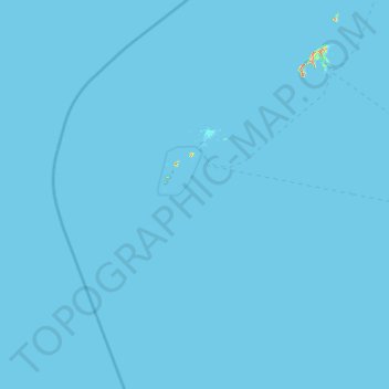
Name: Røst topographic map, elevation, terrain.
Location: Røst, Nordland, 8064, Noorwegen (67.01560 11.30306 67.78182 12.82654)
Average elevation: 0 m
Minimum elevation: -1 m
Maximum elevation: 405 m
Other topographic maps
Click on a map to view its topography, its elevation and its terrain.
Langvatnet - Guddumjávvre
Langvatnet - Guddumjávvre, Gildeskål, Nordland, Noorwegen
Average elevation: 394 m