
Castle Hill topographic map
Interactive map
Click on the map to display elevation.
About this map
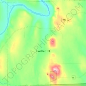
Name: Castle Hill topographic map, elevation, terrain.
Location: Castle Hill, Aroostook County, Maine, United States (46.65782 -68.30076 46.74750 -68.17257)
Average elevation: 216 m
Minimum elevation: 135 m
Maximum elevation: 389 m
Other topographic maps
Click on a map to view its topography, its elevation and its terrain.
Ashland
United States > Maine > Aroostook County
Ashland, Aroostook County, Maine, United States
Average elevation: 210 m
Frenchville
United States > Maine > Aroostook County
Frenchville, Aroostook County, Maine, 04745, United States
Average elevation: 252 m