
Cammeray topographic map
Click on the map to display elevation.
Cammeray
Prior to the 1920s, the suburb was known as Suspension Bridge reflecting the now Long Gully Bridge that joined Northbridge to Cammeray. Cammeray was slow to develop mainly due to its steep topography and remoteness from transport.
About this map
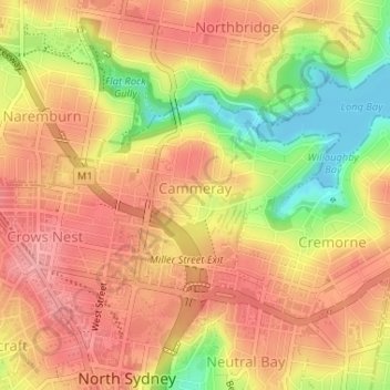
Name: Cammeray topographic map, elevation, terrain.
Average elevation: 66 m
Minimum elevation: -4 m
Maximum elevation: 104 m
New South Wales trails, hiking, mountain biking, running and outdoor activities
Other topographic maps
Click on a map to view its topography, its elevation and its terrain.