
Thabeban topographic map
Interactive map
Click on the map to display elevation.
About this map
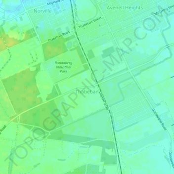
Name: Thabeban topographic map, elevation, terrain.
Location: Thabeban, Bundaberg Region, Queensland, Australia (-24.92216 152.33509 -24.89215 152.37716)
Average elevation: 27 m
Minimum elevation: 20 m
Maximum elevation: 37 m
Bundaberg Region trails, hiking, mountain biking, running and outdoor activities
Other topographic maps
Click on a map to view its topography, its elevation and its terrain.
Isis River
Australia > Queensland > Bundaberg Region > South Isis > Isis River
Average elevation: 43 m