
Borralha topographic map
Interactive map
Click on the map to display elevation.
About this map
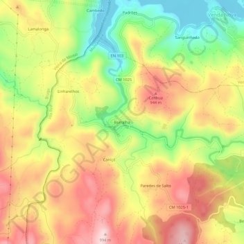
Name: Borralha topographic map, elevation, terrain.
Location: Borralha, Salto, Montalegre, Vila Real, 5470-504, Portugal (41.63544 -8.00046 41.67544 -7.96046)
Average elevation: 845 m
Minimum elevation: 683 m
Maximum elevation: 989 m
Other topographic maps
Click on a map to view its topography, its elevation and its terrain.