
Pereira topographic map
Interactive map
Click on the map to display elevation.
About this map
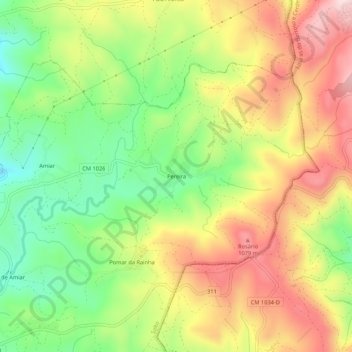
Name: Pereira topographic map, elevation, terrain.
Location: Pereira, Salto, Montalegre, Vila Real, 5470-504, Portugal (41.64923 -7.93490 41.68923 -7.89490)
Average elevation: 933 m
Minimum elevation: 759 m
Maximum elevation: 1,121 m
Other topographic maps
Click on a map to view its topography, its elevation and its terrain.