
Austra topographic map
Click on the map to display elevation.
About this map
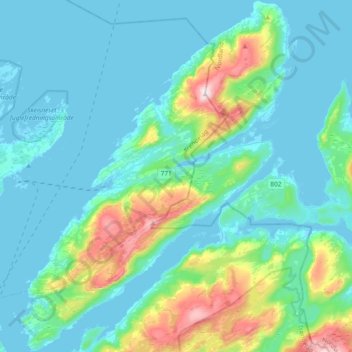
Name: Austra topographic map, elevation, terrain.
Location: Austra, Trøndelag, 7993, Norway (65.01080 11.73889 65.16846 12.03443)
Average elevation: 97 m
Minimum elevation: -4 m
Maximum elevation: 585 m
Other topographic maps
Click on a map to view its topography, its elevation and its terrain.