
Bahrs Scrub topographic map
Interactive map
Click on the map to display elevation.
About this map
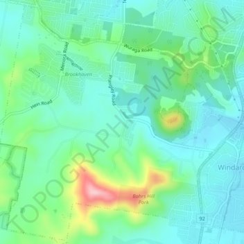
Name: Bahrs Scrub topographic map, elevation, terrain.
Location: Bahrs Scrub, Logan City, Queensland, Australia (-27.75533 153.15302 -27.72036 153.19374)
Average elevation: 56 m
Minimum elevation: 8 m
Maximum elevation: 199 m
Queensland trails, hiking, mountain biking, running and outdoor activities
Other topographic maps
Click on a map to view its topography, its elevation and its terrain.