Geolocate

Seljord topographic map

Click on the map to display elevation.

About this map

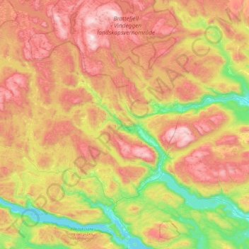
Name: Seljord topographic map, elevation, terrain.

Location: Seljord, Vestfold og Telemark, Norway (59.35157 8.20649 59.79507 8.91759)

Average elevation: 720 m

Minimum elevation: 68 m

Maximum elevation: 1,531 m

Other topographic maps

Click on a map to view its topography, its elevation and its terrain.

Haukeli

Norway > Vestfold og Telemark

Average elevation: 798 m

Rauland

Norway > Vestfold og Telemark

Average elevation: 761 m

Vråliosen

Norway > Vestfold og Telemark

Average elevation: 415 m

Valberg

Norway > Vestfold og Telemark

Average elevation: 57 m

Notodden

Norway > Vestfold og Telemark

Average elevation: 216 m

Finnmark

Norway > Vestfold og Telemark

Average elevation: 38 m

Gaustatoppen

Norway > Vestfold og Telemark

Average elevation: 1,360 m

From

Norway > Vestfold og Telemark > Sandefjord

Average elevation: 48 m

Vrådal

Norway > Vestfold og Telemark

Average elevation: 433 m

Botne

Norway > Vestfold og Telemark > Holmestrand > Botne

Average elevation: 121 m

Gear up for your next adventure:

☀️Portable Solar Chargers - High-efficiency panels to hang on your backpack while walking
🖼️Scratch-off Australia Map - Track the regions and peaks you have explored geographically
🪢550 Survival Paracord - Versatile cordage for gear repair and emergency lashing
📖Australian Bush Survival Books - Local knowledge on finding water and surviving the outback
🧺Waterproof Dry Sacks - Organize your pack and keep electronics safe from rain and river crossings

As an Amazon Associate, this site earns from qualifying purchases at no extra cost to you.