
潞城区 topographic map
Interactive map
Click on the map to display elevation.
About this map
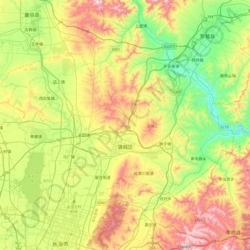
Name: 潞城区 topographic map, elevation, terrain.
Location: 潞城区, 长治市, 山西省, 中国 (36.23679 112.98543 36.49230 113.46261)
Average elevation: 955 m
Minimum elevation: 606 m
Maximum elevation: 1,486 m
Other topographic maps
Click on a map to view its topography, its elevation and its terrain.