
沁源县 topographic map
Interactive map
Click on the map to display elevation.
About this map
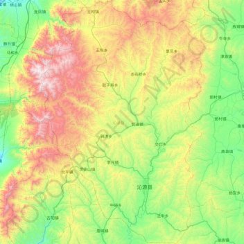
Name: 沁源县 topographic map, elevation, terrain.
Location: 沁源县, 长治市, 山西省, 中国 (36.33945 111.97506 37.01309 112.54040)
Average elevation: 1,340 m
Minimum elevation: 731 m
Maximum elevation: 2,547 m
Other topographic maps
Click on a map to view its topography, its elevation and its terrain.