
Kalinda topographic map
Interactive map
Click on the map to display elevation.
About this map
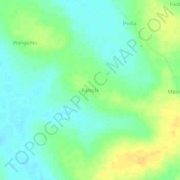
Name: Kalinda topographic map, elevation, terrain.
Location: Kalinda, Nakasongola, Central Region, Uganda (1.52205 32.31813 1.56205 32.35813)
Average elevation: 1,049 m
Minimum elevation: 1,038 m
Maximum elevation: 1,065 m
Other topographic maps
Click on a map to view its topography, its elevation and its terrain.
Kafu River
Uganda > Nakasongola > Kyajongo
Kafu River, Kyajongo, Nakasongola, Central Region, Uganda
Average elevation: 1,043 m
Lwamugolode
Lwamugolode, Nakasongola, Central Region, Uganda
Average elevation: 1,062 m
Kyambogo
Uganda > Nakasongola > Kyambogo
Kyambogo, Nakasongola, Central Region, Uganda
Average elevation: 1,080 m