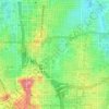
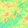
Atlanta topographic map
Click on the map to display elevation.
Atlanta
Atlanta (/ætˈlæntə/ at-LAN-tə, or /ætˈlænə/ at-LAN-ə) is the capital and most populous city of the U.S. state of Georgia. It is the seat of Fulton County, although a portion of the city extends into neighboring DeKalb County. With a population of 498,715 living within the city limits, Atlanta is the eighth most populous city in the Southeast and 38th most populous city in the United States according to the 2020 U.S. census. It is the core of the much larger Atlanta metropolitan area, which is home to more than 6.2 million people (2022 estimate), making it the eighth-largest U.S. metropolitan area. Situated among the foothills of the Appalachian Mountains at an elevation of just over 1,000 feet (300 m) above sea level, Atlanta features unique topography that includes rolling hills, lush greenery, and the densest urban tree coverage of any major city in the United States.
About this map
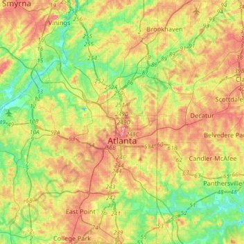
Name: Atlanta topographic map, elevation, terrain.
Location: Atlanta, Fulton County, Georgia, United States (33.64792 -84.55085 33.88682 -84.28956)
Average elevation: 284 m
Minimum elevation: 226 m
Maximum elevation: 357 m
Other topographic maps
Click on a map to view its topography, its elevation and its terrain.
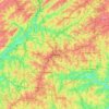
Atlanta
United States > Georgia > Fulton County
Atlanta occupies a high, rolling part of the Georgia Piedmont, a physiographic region described as a landscape of low hills and narrow valleys between the Blue Ridge Mountains and the Upper Coastal Plain. Around downtown and Fulton County, the terrain is gently dissected rather than flat, with broad urban…
Average elevation: 285 m
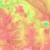
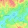

Capital City Country Club Lake Dam
United States > Georgia > Fulton County > Atlanta
Average elevation: 294 m