
Heddanstjønn topographic map
Interactive map
Click on the map to display elevation.
About this map
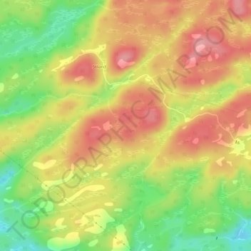
Name: Heddanstjønn topographic map, elevation, terrain.
Location: Heddanstjønn, Heddan, Lindesnes, Agder, Norway (58.11803 7.27503 58.11930 7.27924)
Average elevation: 249 m
Minimum elevation: 184 m
Maximum elevation: 299 m
Other topographic maps
Click on a map to view its topography, its elevation and its terrain.