
Byglandsfjord topographic map
Interactive map
Click on the map to display elevation.
About this map
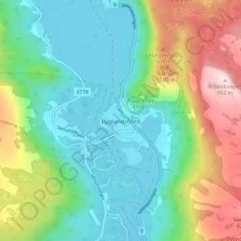
Name: Byglandsfjord topographic map, elevation, terrain.
Location: Byglandsfjord, Bygland, Agder, 4741, Norway (58.64757 7.78766 58.68757 7.82766)
Average elevation: 367 m
Minimum elevation: 197 m
Maximum elevation: 749 m
Other topographic maps
Click on a map to view its topography, its elevation and its terrain.