
Nedland topographic map
Interactive map
Click on the map to display elevation.
About this map
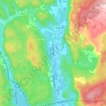
Name: Nedland topographic map, elevation, terrain.
Location: Nedland, Flekkefjord, Agder, 4436, Norway (58.38301 6.81432 58.42301 6.85432)
Average elevation: 228 m
Minimum elevation: 110 m
Maximum elevation: 442 m
Other topographic maps
Click on a map to view its topography, its elevation and its terrain.