
Nakabimba topographic map
Interactive map
Click on the map to display elevation.
About this map
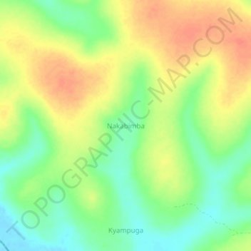
Name: Nakabimba topographic map, elevation, terrain.
Location: Nakabimba, Nakaseke, Central Region, Uganda (1.04667 31.98000 1.08667 32.02000)
Average elevation: 1,086 m
Minimum elevation: 1,061 m
Maximum elevation: 1,110 m
Other topographic maps
Click on a map to view its topography, its elevation and its terrain.