
Nkozi topographic map
Interactive map
Click on the map to display elevation.
About this map
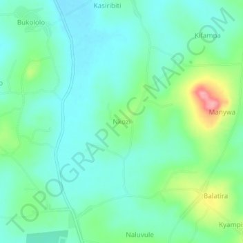
Name: Nkozi topographic map, elevation, terrain.
Location: Nkozi, Nakaseke, Central Region, Uganda (0.69695 32.22828 0.73695 32.26828)
Average elevation: 1,108 m
Minimum elevation: 1,078 m
Maximum elevation: 1,192 m
Other topographic maps
Click on a map to view its topography, its elevation and its terrain.