
Lule topographic map
Interactive map
Click on the map to display elevation.
About this map
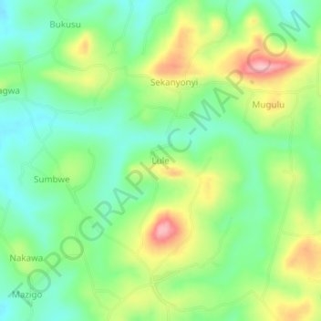
Name: Lule topographic map, elevation, terrain.
Location: Lule, Nakaseke, Central Region, Uganda (0.64667 32.29667 0.68667 32.33667)
Average elevation: 1,194 m
Minimum elevation: 1,130 m
Maximum elevation: 1,302 m
Other topographic maps
Click on a map to view its topography, its elevation and its terrain.