
Kaohsiung topographic map
Interactive map
Click on the map to display elevation.
About this map
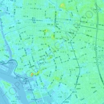
Name: Kaohsiung topographic map, elevation, terrain.
Location: Kaohsiung, District de Lingya, 802, Taïwan (22.60853 120.28870 22.63847 120.34527)
Average elevation: 10 m
Minimum elevation: -9 m
Maximum elevation: 54 m
Other topographic maps
Click on a map to view its topography, its elevation and its terrain.