
木乐镇 topographic map
Interactive map
Click on the map to display elevation.
About this map
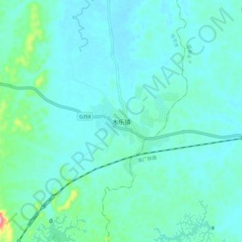
Name: 木乐镇 topographic map, elevation, terrain.
Location: 木乐镇, 桂平市, 贵港市, 广西壮族自治区, 中国 (23.38405 110.30694 23.46405 110.38694)
Average elevation: 54 m
Minimum elevation: 28 m
Maximum elevation: 220 m
Other topographic maps
Click on a map to view its topography, its elevation and its terrain.