
下湾镇 topographic map
Interactive map
Click on the map to display elevation.
About this map
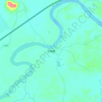
Name: 下湾镇 topographic map, elevation, terrain.
Location: 下湾镇, 桂平市, 贵港市, 广西壮族自治区, 中国 (23.20137 109.96589 23.28137 110.04589)
Average elevation: 44 m
Minimum elevation: 27 m
Maximum elevation: 160 m
Other topographic maps
Click on a map to view its topography, its elevation and its terrain.