
Satima topographic map
Interactive map
Click on the map to display elevation.
About this map
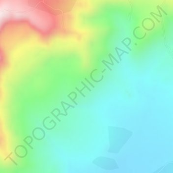
Name: Satima topographic map, elevation, terrain.
Location: Satima, West-Godscham, Amhara, Äthiopien (10.94000 37.19000 10.96000 37.21000)
Average elevation: 2,562 m
Minimum elevation: 2,405 m
Maximum elevation: 2,881 m
Other topographic maps
Click on a map to view its topography, its elevation and its terrain.