
Manu topographic map
Interactive map
Click on the map to display elevation.
About this map
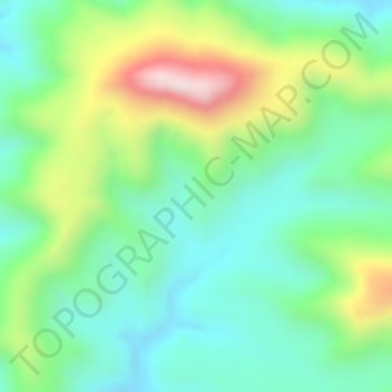
Name: Manu topographic map, elevation, terrain.
Location: Manu, Nord-Gonder, Amhara, Äthiopien (12.44000 36.55666 12.46000 36.57666)
Average elevation: 1,057 m
Minimum elevation: 906 m
Maximum elevation: 1,338 m
Other topographic maps
Click on a map to view its topography, its elevation and its terrain.