
Ooldea topographic map
Click on the map to display elevation.
About this map
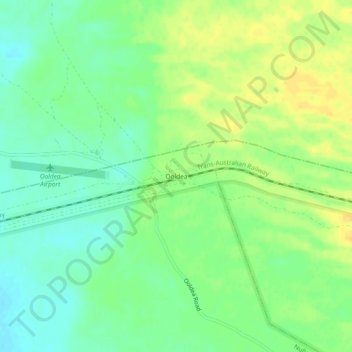
Name: Ooldea topographic map, elevation, terrain.
Average elevation: 116 m
Minimum elevation: 103 m
Maximum elevation: 129 m
Pastoral Unincorporated Area trails, hiking, mountain biking, running and outdoor activities
Other topographic maps
Click on a map to view its topography, its elevation and its terrain.
Bunkers Conservation Reserve
Australia > South Australia > Pastoral Unincorporated Area
Average elevation: 494 m
Bookabourdie Waterhole
Australia > South Australia > Pastoral Unincorporated Area > Innamincka
Average elevation: 44 m
Wabma Kadarbu Mound Springs Conservation Park
Australia > South Australia > Pastoral Unincorporated Area
Average elevation: 18 m
Lake Acraman
Australia > South Australia > Pastoral Unincorporated Area
Oblique Landsat image of Lake Acraman draped over digital elevation model (10x vertical exaggeration), looking east towards the Flinders Ranges where ejecta has been found; screen capture from NASA World Wind.
Average elevation: 147 m
Far West Coast Marine Park
Australia > South Australia > Pastoral Unincorporated Area
Average elevation: 66 m
Ikara-Flinders Ranges National Park
Australia > South Australia > Pastoral Unincorporated Area
Average elevation: 430 m
Oodnadatta
Australia > South Australia > Pastoral Unincorporated Area
Oodnadatta is a small, remote outback town and locality in the Australian state of South Australia, located 1043 kilometres (648 miles) north-north-west of the state capital of Adelaide by road or 873 km (542 mi) direct, at an altitude of 112 metres (367 feet). The unsealed Oodnadatta Track, an outback road…
Average elevation: 130 m
Malkumba-Coongie Lakes National Park
Australia > South Australia > Pastoral Unincorporated Area > Innamincka
Average elevation: 36 m
Lake Macdonell
Australia > South Australia > Pastoral Unincorporated Area > Penong
Average elevation: 6 m
Ironstone Hill Conservation Park
Australia > South Australia > Pastoral Unincorporated Area
Average elevation: 196 m
Nilpena Ediacara National Park
Australia > South Australia > Pastoral Unincorporated Area
Average elevation: 84 m