
Thoche topographic map
Interactive map
Click on the map to display elevation.
About this map
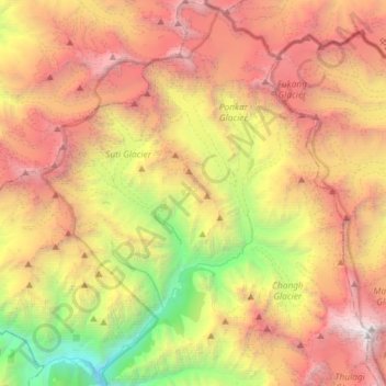
Name: Thoche topographic map, elevation, terrain.
Location: Thoche, Nashong, मनाङ, Gandaki, Népal (28.51604 84.30913 28.77205 84.55758)
Average elevation: 4,922 m
Minimum elevation: 1,948 m
Maximum elevation: 8,034 m
Other topographic maps
Click on a map to view its topography, its elevation and its terrain.