
Orșova topographic map
Interactive map
Click on the map to display elevation.
About this map
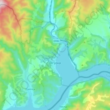
Name: Orșova topographic map, elevation, terrain.
Location: Orșova, Mehedinți, Romania (44.67940 22.35064 44.78186 22.47294)
Average elevation: 245 m
Minimum elevation: 52 m
Maximum elevation: 910 m
Other topographic maps
Click on a map to view its topography, its elevation and its terrain.