
Prescott topographic map
Click on the map to display elevation.
Prescott
Prescott is in the Bradshaw Mountains of central Arizona, at an elevation of 5,400 feet (1,600 m). The city has a Mediterranean climate (Köppen Csa) bordering on a Humid subtropical climate (Köppen Cfa); however, unlike most other locations in this climate class, there is a pronounced summer wet season due to the North American Monsoon.
About this map
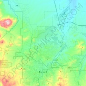
Name: Prescott topographic map, elevation, terrain.
Location: Prescott, Yavapai County, Arizona, United States (34.51253 -112.52996 34.67994 -112.37610)
Average elevation: 1,674 m
Minimum elevation: 1,486 m
Maximum elevation: 2,302 m
Other topographic maps
Click on a map to view its topography, its elevation and its terrain.