
Apple Tree Creek topographic map
Interactive map
Click on the map to display elevation.
About this map
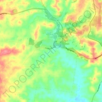
Name: Apple Tree Creek topographic map, elevation, terrain.
Average elevation: 90 m
Minimum elevation: 48 m
Maximum elevation: 138 m
Bundaberg Region trails, hiking, mountain biking, running and outdoor activities
Other topographic maps
Click on a map to view its topography, its elevation and its terrain.
Isis River
Australia > Queensland > Bundaberg Region > South Isis > Isis River
Average elevation: 43 m