
New Port Richey topographic map
Click on the map to display elevation.
About this map
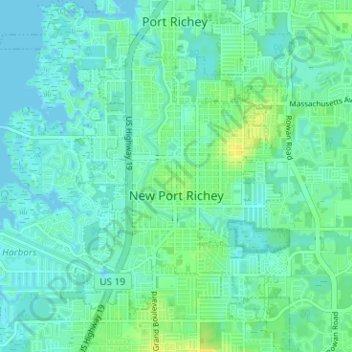
Name: New Port Richey topographic map, elevation, terrain.
Location: New Port Richey, Pasco County, Florida, 34652, United States (28.21930 -82.73999 28.27491 -82.69781)
Average elevation: 5 m
Minimum elevation: -1 m
Maximum elevation: 17 m
Other topographic maps
Click on a map to view its topography, its elevation and its terrain.
Wesley Chapel
United States > Florida > Pasco County
According to the United States Census Bureau, the CDP has a total area of 6.1 square miles (16 km2), of which 6.1 square miles (16 km2) is land and 0.04 square miles (0.10 km2) (0.49%) is water. The elevation is about 100 feet (30 m), combined with an inland location, creates more temperature variation in the…
Average elevation: 19 m
Dupree Gardens
United States > Florida > Pasco County > Land O' Lakes > Dupree Gardens
Average elevation: 24 m