
Talgai topographic map
Interactive map
Click on the map to display elevation.
About this map
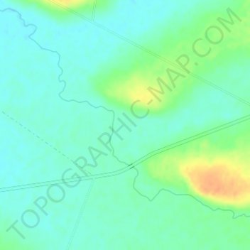
Name: Talgai topographic map, elevation, terrain.
Location: Talgai, Warwick, Queensland, 4370, Australia (-28.04917 151.87194 -28.02917 151.89194)
Average elevation: 445 m
Minimum elevation: 434 m
Maximum elevation: 471 m
Queensland trails, hiking, mountain biking, running and outdoor activities
Other topographic maps
Click on a map to view its topography, its elevation and its terrain.