
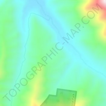
Lefthand Branch topographic map
Interactive map
Click on the map to display elevation.
About this map
Name: Lefthand Branch topographic map, elevation, terrain.
Location: Lefthand Branch, Warwick, Queensland, 4370, Australia (-27.79972 152.25250 -27.77972 152.27250)
Average elevation: 383 m
Minimum elevation: 255 m
Maximum elevation: 793 m
Queensland trails, hiking, mountain biking, running and outdoor activities
Other topographic maps
Click on a map to view its topography, its elevation and its terrain.