Geolocate

Corani topographic map

Interactive map

Click on the map to display elevation.

About this map

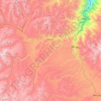
Name: Corani topographic map, elevation, terrain.

Location: Corani, Carabaya, Puno, Perú (-14.08877 -70.88134 -13.72740 -70.50847)

Average elevation: 4,536 m

Minimum elevation: 2,277 m

Maximum elevation: 5,723 m

Other topographic maps

Click on a map to view its topography, its elevation and its terrain.

Isivilla

Perú > Puno > Corani

Isivilla, Corani, Carabaya, Puno, Perú

Average elevation: 4,393 m

Macusani

Perú > Puno > Macusani

Macusani, Carabaya, Puno, Perú

Average elevation: 4,508 m

Mañazo

Perú > Puno

Mañazo, Puno, Perú

Average elevation: 4,318 m

Aymaña

Perú > Puno > Corani

Aymaña, Corani, Carabaya, Puno, Perú

Average elevation: 4,396 m

Sandia

Perú > Puno

Sandia, Puno, 21101, Perú

Average elevation: 1,709 m

Juliaca

Perú > Puno

Juliaca, San Román, Puno, Perú

Average elevation: 3,863 m