
Roselands topographic map
Interactive map
Click on the map to display elevation.
Roselands
Roselands lies in the Cooks River watershed. The soil is clay, based on Wianamatta shale and is on the eastern edge of the great Cumberland Plain which extends westward to the Hawkesbury River and into the Blue Mountains. The topography is low rolling hills. Before settlement, the vegetation was open eucalypt woodland.
About this map
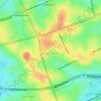
Name: Roselands topographic map, elevation, terrain.
Average elevation: 40 m
Minimum elevation: 19 m
Maximum elevation: 62 m
New South Wales trails, hiking, mountain biking, running and outdoor activities
Other topographic maps
Click on a map to view its topography, its elevation and its terrain.