
Budzibwera topographic map
Interactive map
Click on the map to display elevation.
About this map
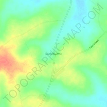
Name: Budzibwera topographic map, elevation, terrain.
Location: Budzibwera, Luweero, Central Region, Uganda (0.89667 32.64667 0.93667 32.68667)
Average elevation: 1,084 m
Minimum elevation: 1,064 m
Maximum elevation: 1,112 m
Other topographic maps
Click on a map to view its topography, its elevation and its terrain.