
Kasiiso topographic map
Interactive map
Click on the map to display elevation.
About this map
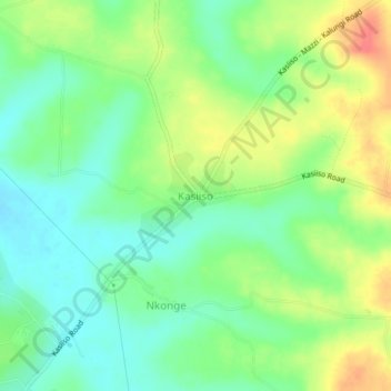
Name: Kasiiso topographic map, elevation, terrain.
Location: Kasiiso, Luweero, Central Region, Uganda (0.84016 32.50317 0.88016 32.54317)
Average elevation: 1,105 m
Minimum elevation: 1,082 m
Maximum elevation: 1,140 m
Other topographic maps
Click on a map to view its topography, its elevation and its terrain.