
茶山镇 topographic map
Interactive map
Click on the map to display elevation.
About this map
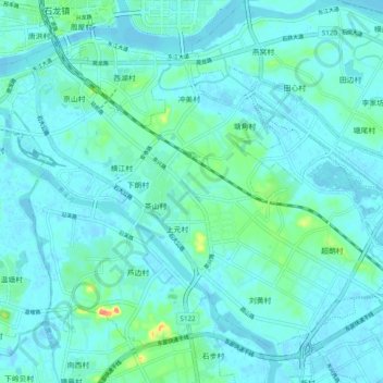
Name: 茶山镇 topographic map, elevation, terrain.
Location: 茶山镇, 东莞市, 广东省, 523000, 中国 (23.03252 113.83020 23.10561 113.92787)
Average elevation: 9 m
Minimum elevation: -6 m
Maximum elevation: 62 m
Other topographic maps
Click on a map to view its topography, its elevation and its terrain.