
Sungai Besar topographic map
Interactive map
Click on the map to display elevation.
About this map
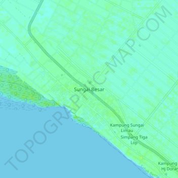
Name: Sungai Besar topographic map, elevation, terrain.
Location: Sungai Besar, Sabak Bernam, Selangor, 45300, Malaysia (3.63771 100.94803 3.71771 101.02803)
Average elevation: 3 m
Minimum elevation: -1 m
Maximum elevation: 10 m
Other topographic maps
Click on a map to view its topography, its elevation and its terrain.
Selayang Municipal Council
Given its varied topography pattern and close proximity to the Titiwangsa Mountains (Banjaran Titiwangsa), Selayang is a mix of urban and countryside sceneries. Its premier natural attraction, which is well known across the country, is the Forest Research Institute Malaysia (FRIM), also known as FRIM Kepong.…
Average elevation: 236 m