
Delgerkhaan topographic map
Interactive map
Click on the map to display elevation.
About this map
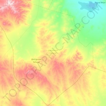
Name: Delgerkhaan topographic map, elevation, terrain.
Location: Delgerkhaan, Töw, Mongolei (46.38046 104.23441 46.93303 105.00062)
Average elevation: 1,568 m
Minimum elevation: 1,260 m
Maximum elevation: 2,097 m
Other topographic maps
Click on a map to view its topography, its elevation and its terrain.