
Büren topographic map
Interactive map
Click on the map to display elevation.
About this map
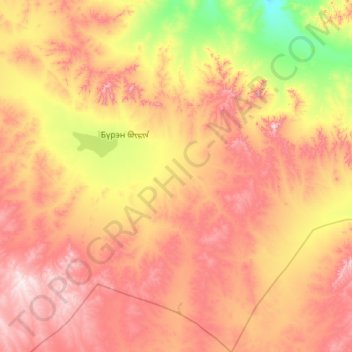
Name: Büren topographic map, elevation, terrain.
Location: Büren, Töw, Mongolei (46.43890 104.65889 47.21247 105.66003)
Average elevation: 1,428 m
Minimum elevation: 1,070 m
Maximum elevation: 1,866 m
Other topographic maps
Click on a map to view its topography, its elevation and its terrain.