
Тэрэлж гол topographic map
Interactive map
Click on the map to display elevation.
About this map
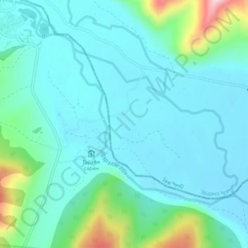
Name: Тэрэлж гол topographic map, elevation, terrain.
Location: Тэрэлж гол, Erdene, Töw, Mongolei (47.96991 107.46966 47.98733 107.49603)
Average elevation: 1,550 m
Minimum elevation: 1,503 m
Maximum elevation: 1,760 m
Other topographic maps
Click on a map to view its topography, its elevation and its terrain.