Geolocate

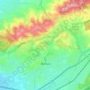
Mount Lewis topographic map

Click on the map to display elevation.

About this map
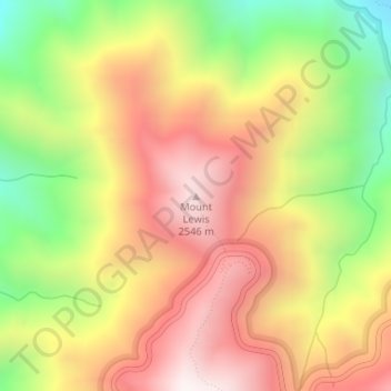
Name: Mount Lewis topographic map, elevation, terrain.

Location: Mount Lewis, Los Angeles County, California, 93563, United States (34.37208 -117.80600 34.37218 -117.80590)

Average elevation: 2,155 m

Minimum elevation: 1,640 m

Maximum elevation: 2,593 m

Other topographic maps

Click on a map to view its topography, its elevation and its terrain.
Alhambra

United States > California > Los Angeles County

Average elevation: 139 m

Agoura Hills

United States > California > Los Angeles County

Agoura Hills has a mountain called Ballard Mountain named after pioneer settler and freed slave John Ballard. The name of the mountain was officially changed from Negrohead to Ballard in a ceremony on February 20, 2010. Ladyface Mountain is another prominent mountain on the west side of the Conejo Valley and…

Average elevation: 332 m
Walnut

United States > California > Los Angeles County > Walnut

Average elevation: 221 m

Santa Catalina Island

United States > California > Los Angeles County > Avalon

Catalina is primarily composed of two distinct rock units: Catalina Schist from the Early Cretaceous (95 to 109 million years ago), and Miocene volcanic and intrusive igneous rocks. The island is rich in quartz, to the extent that some beaches on the seaward side have silvery-grey sand. These formations…

Average elevation: 60 m

Avalon

United States > California > Los Angeles County

Average elevation: 108 m

Gear up for your next adventure:

🪑Portable Backpacking Chairs - A comfortable seat for studying maps at the end of the day
🥶Thermal Beanies - Warm hats for cold hikes
Ultralight Solo Tents - Compact shelters for multi-day topographic surveying expeditions
🔋Rechargeable Batteries - Eco-friendly power for high-drain GPS units and flashlights
🔥Windproof Plasma Lighters - USB rechargeable lighters that work in high-altitude winds

As an Amazon Associate, this site earns from qualifying purchases at no extra cost to you.