
Goyang-si topographic map
Interactive map
Click on the map to display elevation.
About this map
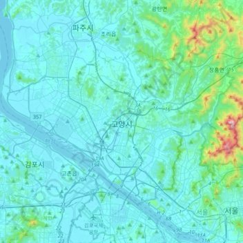
Name: Goyang-si topographic map, elevation, terrain.
Location: Goyang-si, Gyeonggi, South Korea (37.57179 126.67039 37.74851 126.99427)
Average elevation: 71 m
Minimum elevation: -5 m
Maximum elevation: 797 m
Other topographic maps
Click on a map to view its topography, its elevation and its terrain.