
Ulsan topographic map
Interactive map
Click on the map to display elevation.
About this map
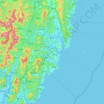
Name: Ulsan topographic map, elevation, terrain.
Location: Ulsan, South Korea (35.18617 128.97074 35.72449 129.72062)
Average elevation: 125 m
Minimum elevation: -2 m
Maximum elevation: 1,192 m
Other topographic maps
Click on a map to view its topography, its elevation and its terrain.