
Toro Negro topographic map
Interactive map
Click on the map to display elevation.
About this map
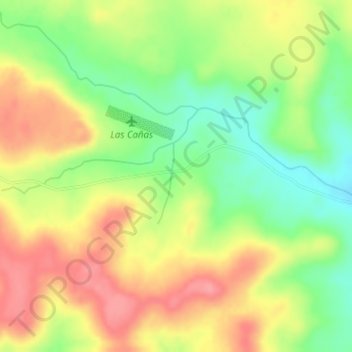
Name: Toro Negro topographic map, elevation, terrain.
Location: Toro Negro, Salto, Uruguay (-31.34871 -56.60060 -31.32871 -56.58060)
Average elevation: 223 m
Minimum elevation: 177 m
Maximum elevation: 266 m
Other topographic maps
Click on a map to view its topography, its elevation and its terrain.