
Manda-Inakir topographic map
Interactive map
Click on the map to display elevation.
About this map
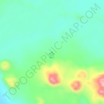
Name: Manda-Inakir topographic map, elevation, terrain.
Location: Manda-Inakir, Zone 1, Afar, Äthiopien (12.39281 42.20436 12.39291 42.20446)
Average elevation: 662 m
Minimum elevation: 600 m
Maximum elevation: 794 m
Other topographic maps
Click on a map to view its topography, its elevation and its terrain.